
Ostrovica Fortress and Sports Climbing Area


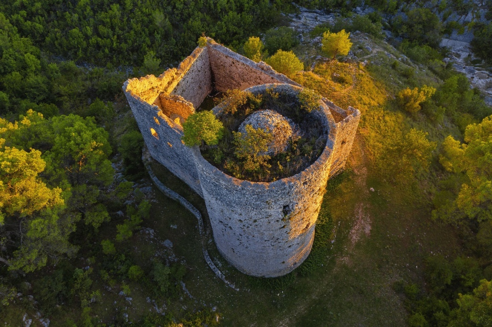
Near the village of Ostrovica, 20 km northwest of Skradin, lie the remains of a hillfort settlement and the “Ostrovica” Sport Climbing Site.
The remnants of the hillfort settlement on the elevated terrain above the village indicate continuous habitation dating back to prehistoric times.
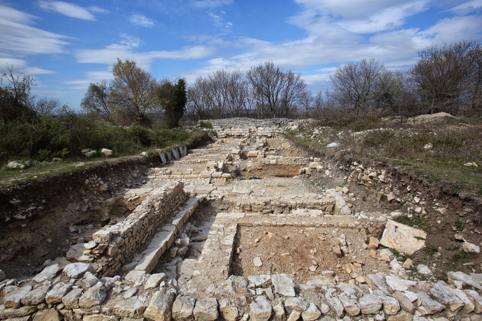
Archaeological investigations have uncovered remains of Roman construction, along with numerous examples of epigraphic monuments, sculptures, pottery, and coins. From the Early Middle Ages, several fragments of Old Croatian church furniture with remnants of inscriptions and interlace (pleter) decoration have been found.
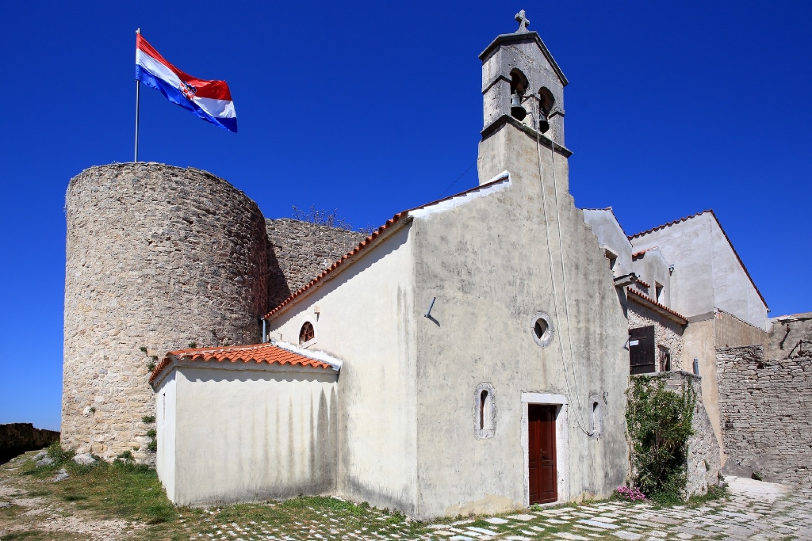
In the Middle Ages, a fortress was erected in Ostrovica. From the 13th to the mid-14th century, it served as one of the seats of the Bribirski dukes. In 1347, Grgur II and Juraj III Bribirski ceded Ostrovica to King Louis I of Anjou in exchange for the Zrin fortress in Slavonia. From that point, Ostrovica became the main fortress of the royal county of Luka.
In 1388, it was captured by the Bosnian King Tvrtko I Kotromanić. In the first half of the 15th century, the Republic of Venice unsuccessfully tried to acquire it, hoping its possession would strengthen the defense of its coastal territories acquired between Zadar and Šibenik.
In 1523, it was conquered by the Ottomans, under whose rule it remained until the mid-17th century. It then became part of the newly conquered Venetian territories in the Dalmatian hinterland and was settled by new inhabitants. From that time on, the fortress lost its military significance.
During the Croatian War of Independence (Domovinski rat), it was under Serbian occupation from 1991-1995.
“Ostrovica” Sport Climbing Site
The sport climbing crag “Ostrovica” is located in the picturesque village of Ostrovica (municipality of Lišane Ostrovičke) at the foot of the Orlovača peak. During 2023. Zadar climbers from the Sports Climbing Club Paklenica, with the support of Turistička zajednica Ravnih kotara and Municipality of Lišane ostrovičke and with the help of local climbers, bolted a new crag with 42 routes. In the left part, the cliff has two levels (A, B and C) with a height up to 13m and easier routes while on the right side (D), the rock is higher with more demanding routes.
The rock is mostly compact limestone, while in sector D a layer of conglomerate of lower quality can be found. The characteristics of the rock are slightly inclined or vertical slabs and numerous cracks.
The orientation of the rock is south and southwest, which makes it ideal for climbing from October to June. It is sheltered from bura and exposed to southern winds.
From the climbing site, there’s a beautiful view of a highly photogenic monolithic limestone tower, which locals call “Grad’na.” More recently, it’s also become known as “Mačkov kamen” after a common local surname. The view extends further to the vast fertile fields near Ostrovica village, the area of Lake Vrana, and all the way to the islands of the Šibenik archipelago.
Location
Benkovac
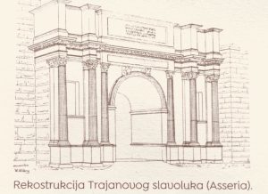
The first traces of human life in the Benkovac area were found around the village of Smilčić that belonged to the Danilo culture. Before Roman conquest the area was inhabited by the Illyrian tribe of Liburnians. During the Roman Civil war the Liburnians sided with Caesar. The Romans mention the following Liburnian settlements: Nedinum (Nadin), Carinium (Karin), Varvaria (Bribir) and Asseria (Podgrađe). In 7th century the area was settled by Croats. The area of Benkovac was at the crossroads of four Croatian župas – Novljanska, Sidraška, Bribirska and Karinska. Near the village of Šopot, an inscription from the 9th century was found that mentions Branimir as a Croatian Duke.
ExploreAncient Rome
Romans subdued the Greek colonial cities in the 3rd century BC. They imposed an organization based on a military-economical system. Furthermore, the Romans subdued the Illyrians in the first century BC and organized the entire coastal territory by transforming the citadels into urban cities. After that, the history of these parts is the history of the Illyrian provinces of the Roman Empire. Numerous rustic villas, and new urban settlements (the most impressive are Verige in Brijuni, Pula, and Trogir – formerly Tragurion) demonstrate the high level of Roman urbanization. There were at least thirty urban cities in Istria, Liburnia and Dalmatia with Roman citizenship (civitas). The best-preserved networks of Roman streets (decumanus/cardo) are those in Epetion (Poreč) and Jader (Zadar). The most perfectly preserved Roman monuments are in Pola (Pula); founded in the first century dedicated to Julius Caesar. It is full of classical Roman art such as: stone walls, two city gates, two temples on the Forum, and remains of two theaters, as well as the Arch from the year 30 AD, and the temple of Augustus built in the years 2 to 14 AD, and finally the Fluvian Amphitheater (so called – Arena) from the 2nd century. In the 3rd century AD, the city of Salona became the largest (it had 40,000 inhabitants) and most important city of Dalmatia. Near the city emperor Diocletian, born in Salona, built Diocletian’s Palace around the year 300 AD, which is the largest and most important monument of late antique architecture in the world. On its pathways, cellars, domes, mausoleums, arcades and courtyards we can trace numerous different art influences from the entire Empire. In the 4th century, Salona became the center of Christianity for the entire western Balkans. It had numerous basilicas and necropolises, and even two saints: Domnius (Duje) and Anastasius (Stošija).
Explore








Reviews
There are no reviews yet.